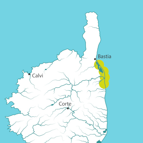
Located between the municipalities of Bastia and Penta di Casinca, in Upper Corsica, the Golo Delta site stretches along a coast of almost 30 kilometres. It is a low and sandy formation with a beach barrier closing the lagoon pond of Biguglia. Its low physiognomy and its substrate make this area vulnerable to coastal hazards and in particular to the extreme weather events. The richness, the originality and the pressures that are exerted on these areas have led the Conservatoire du littoral to carry out a land purchase action on nearly half of the stretch of coastline.
On this coast, the mix of natural areas and important economic stakes must be organized through the development of a plan of intentions for an integrated management of the coastal area.
On some parts of the coast, the environments are neglected and dune bars are strongly weakened by natural impacts (storms and swells) or anthropogenic impacts (buildings close to the coastline and beaches accessed by car). On the land owned by the Conservatoire, protective measures, such as the installation of fences, make it possible to tackle the problems of uncontrolled beach access and to let the dune bar rebuild and stabilize, finding its function as a natural barrier against saline intrusions.
The Golo Delta site is home to a remarkable biodiversity. Emblematic species of major heritage interest such as the western prickly juniper, the Hermann’s tortoise or the European pond turtle can be found in Mucchiatana. Apart from these species, the geological history of the delta has also allowed the expression of remarkable wetland and coastal habitats, which are now recognized and taken into account by classifications: Biguglia pond natural reserve, Natural Areas of Ecological Fauna and Flora Interest (ZNIEFF) and Natura 2000 areas.
A study conducted by BRGM and based on the evolution of the coastline from 1948 to 2007 has highlighted different trends for the site as a whole. Some areas are in accretion and the coastline has continued to advance towards the sea, while others are eroding, with local rates of erosion that can reach 100 meters in 50 years around the mouth of the Golo. Based on this historical analysis, BRGM has made projections of the evolution of the shoreline by 2050.
The Conservatoire is communicating about the adapto approach to public and private sector stakeholders, for example by raising awareness about the reasoned cleaning of beaches or providing support in their sustainable development initiatives and taking into account long-term issues.
Project for the site
The lines of thought that have made the project develop for this site are numerous but sectorized (hydro-sedimentary process, naturalistic monitorings, landscape approach...). These lines of thought will need to be highlighted in a more integrated knowledge effort. In addition, the site deserves local support to monitor changes in the environment where natural dynamics take place now more freely.
Prospective scenarios fuelled by the economic component of the project will allow to start a dialogue with local stakeholders in the eastern plain (elected officials, organizations, professionals, individuals, local offices of the central government).
These steps are necessary to find sustainable shared solutions.
In addition, the Conservatoire will continue its efforts to protect the coastal area through land purchase, restoration work on the dune bar and development of visitors’ access.
Site chronicle
September 2018: Meetings between the consultant BRLi and economic stakeholders (hotels) of the sites to present them the results of the planned development scenarios, the cost/benefits analysis and the multi-criteria analysis.
October 2018: Information meetings with inhabitants of housing estates located on the dune bar in the municipalities of Biguglia and Borgo: presentation of technical plans of the restoration and protection of the coastal area, registering of the impressions of the participants and answers to their questions.
February and March 2019: Presentation of technical plans of the restoration and protection of the coastal area to the City Councils of Furiani and Castellar di Casinca.
Spring 2019: Works carried out as part of adapto in the municipalities of Borgo and Venzolasca.